AI-Driven Land Discovery
Get data-driven recommendations for renewable project sites using GIS intelligence, infrastructure proximity, and environmental analysis.

Auxilium by ZVerve
Auxilium brings together a verified land marketplace, AI-led due diligence, GIS visibility, and acquisition workflow tracking for solar, wind, hybrid, and infrastructure land teams.
Discover
Find project-ready land faster with structured search and matching.
Verify
Screen title, land details, and readiness before taking the next step.
Track
Manage acquisition progress with one workflow across teams and parcels.
A quick snapshot of our platform footprint, land evaluation scale, and active user participation.
How Auxilium Works
Auxilium combines AI, GIS intelligence, and structured workflows to simplify renewable land discovery, verification, and acquisition.
Stage 1
Get data-driven recommendations for renewable project sites using GIS intelligence, infrastructure proximity, and environmental analysis.
Explore land parcels with topography, connectivity, and renewable potential layers.
Stage 2
Automatically analyze Khatauni, RTC, Jamabandi, and land records to identify ownership details and preliminary title risks.
Access structured land intelligence with real-time data insights and document tracking.
Stage 3
Enable secure and transparent land transactions with data-driven insights.
Track parcel aggregation, negotiations, and acquisition workflows across renewable portfolios.
Review active buyer demand, narrow it by geography, and publish a new listing from your portfolio when you have land that matches the requirement.
Active Requirements
0
Buyer requests visible right now
Active Regions
0
States represented in this demand board
Active Buyer Requirements
Showing page 1 of 1
No active buyer requirements are available right now.
Create a new listing when you have land that can satisfy an active requirement.
A live footprint of where our platform is already supporting renewable land discovery, evaluation, and active listing activity.
States Covered
...
Active geographic presence
Listings
...
Mapped listing volume
Acres
...
Land footprint represented
Minimal Coverage Map
Hover to preview a state and click to keep it selected.
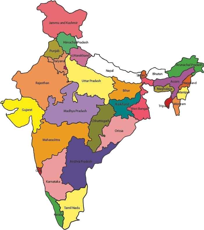
Active state markers
Click any state card or map pin to keep it highlighted.
Step 1
Sign up and explore the platform without any cost.
Step 2
Browse verified land listings and connect with sellers or buyers.
Step 3
Use AI-powered analytics for smart decision-making
Get Started
Whether you are looking to acquire land or bring verified parcels to market, choose the path that matches your role to get started.